Introduction
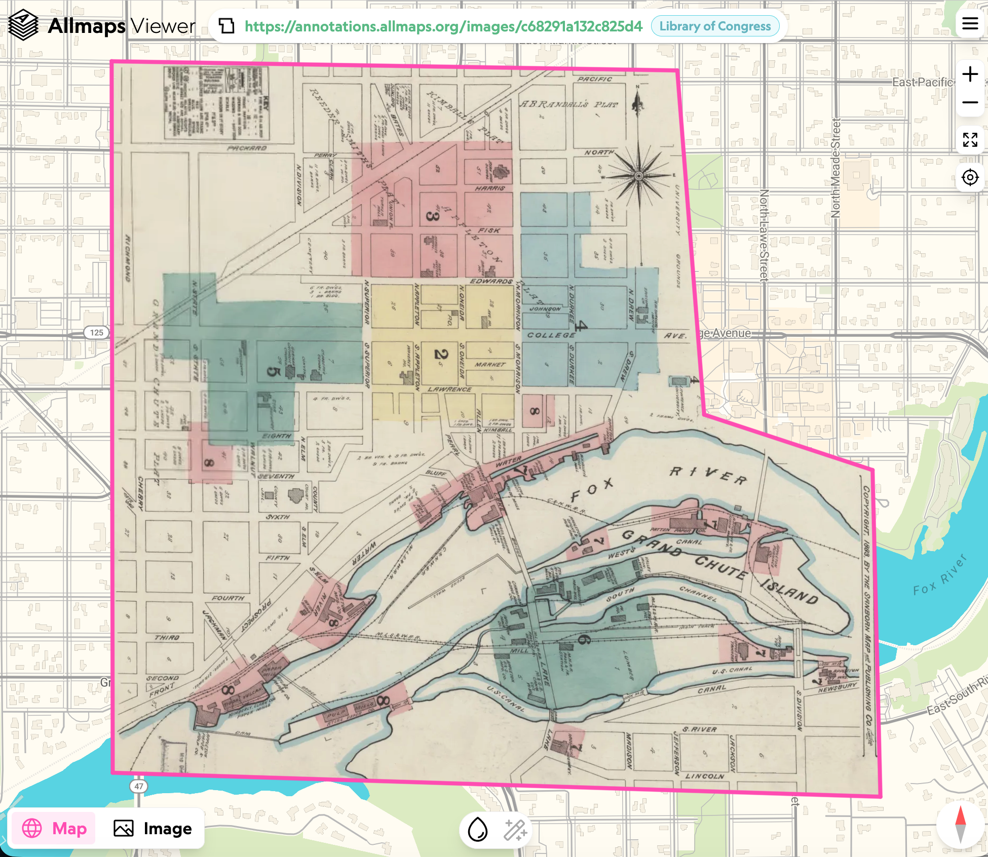
This is an hour long hands on workshop looking at using IIIF maps with Allmaps. The aim is to find digital maps from Minnesota and geo-reference them using the Allmaps tool. The overall plan for this course is below.
Plan
- Find resources that use IIIF and are therefore complaint with Allmaps
- Learn how to locate IIIF manifest links
- Learn how to open a manifest in Allmaps
- Editor Learn to mask and create Ground Control Points
- Learn how to refine your results
- View the georeferenced map in Viewer
- Georeference your own Maps
- Play with Allmaps Here,
- Allmaps Explore, and Allmaps Arcade